Assessment of Current Ice Conditions Relevant to Distribution and Access of Walrus
Near St. Lawrence Island
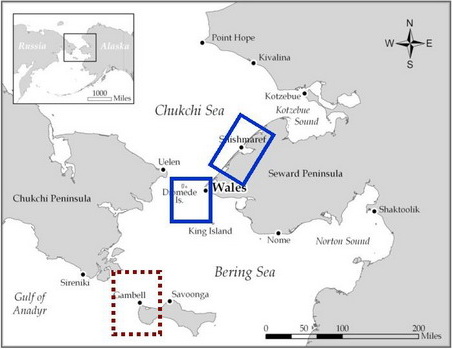
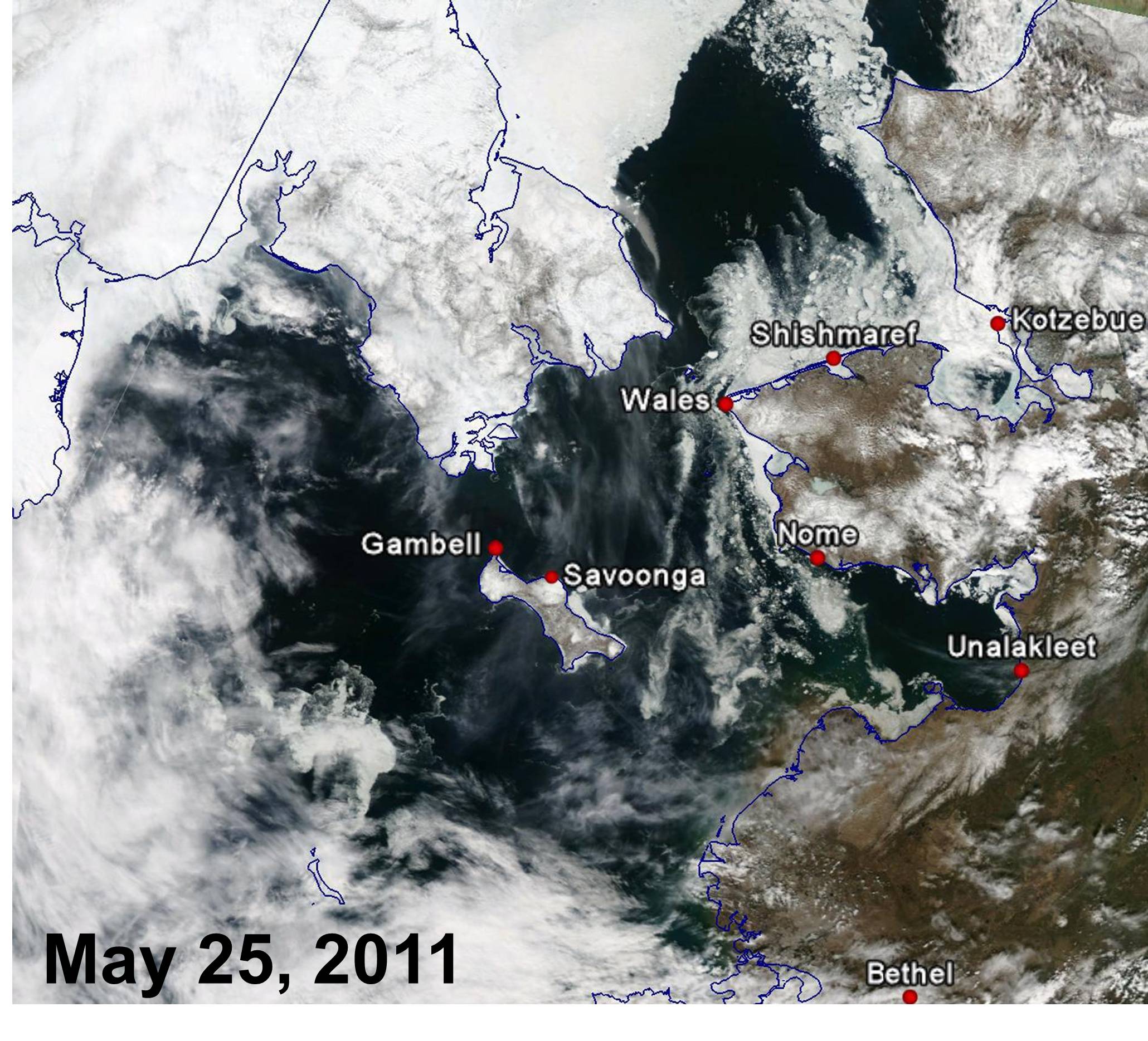
The majority of the sea ice remains on the northeast and eastern portions of the island. In fact, aside from a small area on the southwest side, there was very little sea ice showing up in satellite imagery around the western half of the island. Last week, there was an extension of the sea ice from east of Savoonga north into the Bering Strait. This area remains in place, but is considerably thinner. Ice concentrations on the eastern half of the island have also thinned, with the sea ice consisting of small floes.
Wales to Shishmaref
The sea ice continues to remain high just off the west Seward Peninsula coast, however, locally around Wales the sea ice was located 2 to 5 km west of the coast. While concentrations are still high along the western coast, they are noticeably lower than last week and consist of smaller floes. Between Wales and Shishmaref, conditions have not changed much. The shorefast ice extent appears identical to last week, with a triangular shaped feature just east of Wales, but it does appear to be changing in character. Around Shishmaref, sea ice concentrations remain high with several floes over 5 miles in length. Some of these larger floes have moved very slowly east over the last several days, with the slowest movement closer to shore.
5-10 Day Forecast
A strong low pressure system will be moving into the Bering Sea around the middle part of next week. It has the potential to be a windy storm for Saint Lawrence Island, with winds in excess of 30 mph. However, that said, there is some uncertainty to the storm track and intensity. The storm will likely linger in the central Bering Sea and drift slowly inland over next weekend, causing the winds to turn from easterly to northerly. Once that system moves out of the picture after next weekend, a more benign weather pattern appears to set up. This should cause lighter winds with less certain wind directions.
The storm system and potential winds will likely keep the sea ice confined to the eastern portion of Saint Lawrence Island, with lowering concentration levels due to winds and waves. Easterly offshore winds along the western Seward Peninsula may also push the greater ice concentrations offshore, potentially leaving wide ice-free waters along the coast. The wind pattern will likely favor the sea ice remaining close to shore from Wales to Shishmaref, with no major changes anticipated.
Arrows show wind direction and wind speed in knots


Remote Sensing Images


Observations and Comments
Observations of Sea Ice Development
27 May 2011 - Winton Weyapuk Jr.; local observer in Wales
Temperatures have been in the low to mid 30s F this past week, so the thawing slowed down compared to the previous week. The shorefast ice remains quite solid and the ridges along the edge remain high and anchored. Snow melt amongst the ridges created rough trail conditions. The shorefast ice along the beach began melting and is especially noticeable at the cove below Cape Mountain. Pack ice has been moving north with the current and is beginning to thin out. More open water is becoming visible with north or northeasterly winds. At present, it looks like shorefast ice breakup will proceed quite normally and occur right around the usual time, i.e. early to mid-June.
